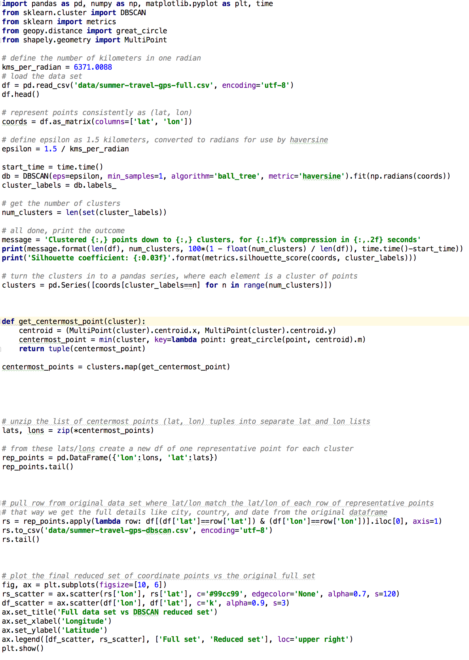
I have Latitude ,longitude and timestamp of image. I want to cluster these image according to detect events. For instance I went to Paris for 4 days then london 3 days and so on. So I want to detect cluster of Paris data and after london.I want each event to be seperated. How can I use this Latitude ,longitude and timestamp together to make cluster? I have done with DBSCAN algorithm but could note merge the time in it.Look at popular Gboeing code if it helps to understand problem.
I have CSV file in my code which contain following thing ,lon,date,city,country 51.4812916,-0.4510112,05/14/2014 09:07,West Drayton,United Kingdom


min_samples=1means that you aren't doing DBSCAN, but it's effectively single-linkage clustering, why use geopy.distance when you have haversine in sklearn already, etc.) but because you copied the code, you should at least attribute it correctly... $\endgroup$